
Business & Technology
WealthAi names Pratim Das as Chief Technology Officer

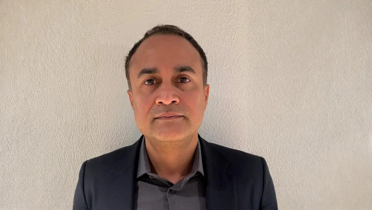
WealthAi has appointed Pratim Das as Chief Technology Officer and Harry Kyprianou as head of product as the London wealth technology start-up expands its client base.
Das joins after a career spanning Microsoft, Amazon and Capgemini, where he worked on data and artificial intelligence systems for large organisations in regulated sectors. His previous clients included HSBC, BP, GSK, Unilever, National Grid and HMRC.
Kyprianou joins from Rathbones, where he spent nine years in roles focused on data and digital transformation. Most recently, he worked on an AI-based meeting intelligence platform that moved from pilot to full rollout. He also supported the consolidation of customer relationship management systems across Rathbones, Saunderson House and Investec, covering £99 billion in client assets.
The appointments add senior technology and product leadership as WealthAi develops software for wealth management firms. Its system is designed to connect with the data and software wealth managers already use, while supporting work across investment, compliance, research and operations.
Wealth managers have been under pressure to modernise their systems while managing growing interest in AI tools. That has sharpened attention on privacy, security, compliance and auditability, particularly in areas of financial services that handle sensitive client data and regulated advice processes.
During his time at Microsoft, Das worked with strategic accounts including banks, energy groups and pharmaceutical companies. He also worked on the responsible use of AI in sensitive applications. At Capgemini, he led data and AI architecture teams for clients including public sector bodies.
Founded in London, WealthAi recently raised USD $1 million in a pre-seed funding round led by Fuel Ventures and Founders Factory. The company aims to build a single software layer for wealth firms rather than asking them to replace core systems.
Senior hires
Jason Nabi, Founder and Chief Executive Officer of WealthAi, said: “Pratim’s appointment is a huge win for WealthAi, and he will play an important role in our next phase of growth. Despite acknowledging its digital immaturity, the wealth management industry has been slow to embrace digital transformation and adopt AI. Wealth industry professionals managing billions in client assets must trust the platforms they use. Pratim’s vast experience of helping businesses and individuals navigate the fast-evolving AI landscape will be invaluable to our customers. With his background in deploying AI in a secure and ethical way, he will help bring greater confidence to the industry, and support our vision of building systems that unify data, automate workflows and give people more time to focus on what matters.”
The appointments come as wealth management firms continue to rely on a mix of legacy platforms and manual processes. For newer software providers, that creates an opening if they can show AI tools fit regulated workflows and can be deployed without major disruption.
Kyprianou’s appointment also points to a focus on product design shaped by industry operations. His background in front-office change programmes at Rathbones gives him direct experience of how large wealth managers handle internal systems, adviser workflows and client servicing.
WealthAi says its software includes a marketplace through which clients can access external providers including Morningstar, Capital Economics, MDOTM and Axyon. Its data layer connects to more than 250 custodians and banks.
Trust and controls
Pratim Das, Chief Technology fficer of WealthAi, said: “AI can be a powerful enabler in wealth management, not by replacing people, but by empowering teams to do more in less time and focus on higher-value work. At the same time, this is an industry built on trust. When you’re dealing with large sums of client money, there is no room for compromise on privacy, security and compliance. These have to be the foundations of any AI solution. By building an AI-native platform that brings these principles together, WealthAi is reshaping how this industry can operate. Even early signs of impact tell us that WealthAi is helping firms embrace AI with greater confidence and use it in a way that is more responsible and impactful.”
The emphasis on trust and controls is likely to remain central as wealth firms test AI more widely. In a sector where service models depend on client relationships and regulatory oversight, technology leaders are being asked not only to introduce new tools, but also to show how they can be used safely.

Blossom Pottery Cafe opened on Friday, August 14 at 18 South Bar, bringing a new artistic opportunity to coffee, tea and cake lovers in the town.
Opening the cafe was a long-standing dream of owner Wendy, who began pottery as a personal hobby and gradually developed the idea of creating a space where people of all ages can enjoy the peaceful pass time.

With every table full on opening weekend and dozens of beautiful pieces newly painted by guests, the owner said her ‘heart is so full’ to see the dream realised.
“So grateful to see so many of you coming to support us on our opening day,” she shared. “Thank you so much.”

Wendy earlier said: “We’re incredibly excited to be opening Blossom Pottery Studio & Café and bringing something new to Banbury.
“We hope it becomes a place where people can take a break from their busy lives, enjoy being creative, and make lasting memories with family and friends.

“The support we’ve received from the local community has been amazing, and we can’t wait to welcome everyone through our doors.”
As part of the grand opening, all customers who visited during the opening weekend or made a pottery painting booking within the next three months received a free cupcake from the cafe.
Blossom Pottery Cafe hosts family-friendly pottery painting sessions from 10am each day, with normal cafe opening hours 8am to 5pm.

Atos highlighted the views of three apprentices entering the technology industry, focusing on apprenticeships as a route into tech as artificial intelligence reshapes workplace skills.
All three work as First Line Service Desk Apprentices and described a jobs market in which technical knowledge alone is not enough. Alongside coding and troubleshooting, they said communication, customer service, problem-solving and adaptability have become central to early careers in IT.
Kyle Brady said he moved into an apprenticeship after studying physics, maths and computer science at A level, then spending time in temporary work, including as a forklift driver, while building his technical skills independently. The apprenticeship, he said, offered a way to gain workplace experience while continuing to learn.
His account points to a common hurdle for new entrants: gaining practical experience before securing a first role. Brady said that challenge shaped his view of what employers value in technology jobs.
“After completing my A levels in physics, maths and computer science, I knew I wanted a career in technology. I’ve always enjoyed solving problems and understanding how things work, but I found it difficult to get my foot in the door. I spent some time in temporary jobs, including as a forklift driver, while building my technical skills in my own time. When the opportunity to start an apprenticeship came along, it felt like the perfect way to gain real workplace experience while continuing to learn.
“One of the biggest things my apprenticeship has taught me is that a career in tech is about much more than technical knowledge. Working on the helpdesk has shown me how important communication, customer service and problem-solving are. Being the first point of contact for users has completely changed how I see the industry and helped me develop skills I never realised I’d need. The experience has also shown me how quickly technology is evolving, especially with AI becoming part of more workplaces. That means the ability to keep learning and adapting is becoming just as important as technical skills. My apprenticeship has helped me build that mindset while giving me hands-on experience with the realities of working in IT.
“It’s also opened up opportunities I wouldn’t have had otherwise. Learning about career paths in cybersecurity and data engineering has shown me the range of opportunities available and given me confidence about where my career could go next. I’d encourage anyone thinking about a career in technology to keep an open mind and not feel like university is the only route. Apprenticeships give you the chance to earn while you learn, develop practical skills from day one and build the confidence to adapt as technology continues to change. In an industry being transformed by AI, that real-world experience is invaluable,” Brady said.
Ryan Cresswell said he studied IT at college and games design at university before working in sales to strengthen his people skills. He later returned to technology, but said employers often wanted practical IT experience as well as qualifications.
His experience reflects a wider issue for people seeking entry-level technology roles. Employers often ask for evidence of workplace readiness even for junior positions, making apprenticeships one way to bridge the gap between education and employment.
“After studying IT at college and games design at university, I began working in sales to hone my people skills before returning to technology. One of the biggest challenges I faced while applying for jobs in tech was that employers liked my qualifications but wanted candidates with hands-on IT experience. That made it difficult to get my foot in the door.
“My apprenticeship has given me the opportunity to earn, learn and gain practical experience at the same time. It’s allowed me to develop my technical troubleshooting skills, but I’ve also learned a lot about communication, problem-solving and handling different types of people. My advice to anyone considering a career in tech is to explore the different paths available. In the past it felt like university was the only choice, but that’s no longer the case. Also, speak to people already working in the industry and stay curious. Apprenticeships are a great way to build skills, confidence and hands-on experience, whether working individually or in a team, while discovering what’s right for you. The most important thing is to keep learning and not be afraid to take a different path if the first one doesn’t work out,” Cresswell said.
Skills shift
Zainab Hussain said she chose an apprenticeship because it offered immediate workplace experience and a path into more senior roles without student debt. She said the role had helped her develop both technical and interpersonal skills, including troubleshooting problems and explaining complex concepts clearly.
Her comments underscore how apprenticeships are being framed by employers and trainees as an alternative to university for some digital roles. In this case, the appeal lies in earning while learning, building professional networks and gaining direct exposure to the daily demands of IT support.
“I’m naturally drawn to tech and have always been IT literate, so I knew it was the right path for me. It’s an industry that’s constantly evolving, and I wanted to be part of that. I chose an apprenticeship because it felt like the best way to gain real experience from day one, and it sets you up to move into higher roles faster than if you go to university. I also wanted to build a career in the industry without taking on student debt.
“My time at Atos so far has helped me develop both my soft and technical skills, such as how to troubleshoot problems and communicate complex concepts clearly. I’ve also had the chance to earn, learn and build my experience, all of which are helping prepare me for the next stage of my career. The apprenticeship path has given me valuable opportunities to network with co-workers from different career backgrounds and skill sets, which you wouldn’t get at uni. The workplace experience has been incredibly valuable, so if you’re interested in tech, I’d encourage you to go for an apprenticeship, explore every opportunity available and keep an open mind,” Hussain said.
Taken together, the three accounts point to a shift in the skills mix associated with junior technology roles. As AI tools become more common in workplaces, the apprentices said the ability to keep learning, work with users and adapt to changing systems is becoming as important as formal technical training.
All three also described apprenticeships as a practical answer to the experience barrier that can prevent candidates entering the sector. They framed the route as a way to gain income, training and exposure to real workplace problems at the same time, while opening paths into areas such as cybersecurity, data engineering and wider IT support.

Liquidators have been instructed to wind down Go Fly Oxford, which provided lessons for commercial and private pilots licences.
Colin Wilson and Emma Mifsud, of Opus Restructuring & Insolvency, have been appointed as joint liquidators for Go Fly Oxford Ltd back in May 2025.
But new records filed by the liquidators have revealed an HMRC secondary preferential claim of £118,132.
Ten unsecured claims have been received by the liquidators totalling £60,314.
Further unsecured creditor claims estimated in the statement of affairs total £88,955, the published documents say.

Over the past year, liquidators say they investigated whether any recoveries could be made from directors or other parties, but concluded there were no further viable assets or claims.
Aircraft shown in the 2024 accounts at a book value of £238,181 had been sold before liquidation. The liquidators found the sales appeared to be at fair value and saw no basis for a claim over the transactions.
The aircraft sales happened about seven months before liquidation, outside the relevant period for a preference claim.
The aircraft were reportedly transferred to creditors and leased back so the company could continue trading.
A purchaser of a PA34-200 aircraft was said to owe £6,000. The liquidators received £4,980; the remaining £1,020 was treated as settled because the purchaser had paid a company liability instead.
Two employees were made redundant on 31 March 2025 and were given information to submit claims to the Redundancy Payments Service.
READ MORE: MOT centre and car shop collapses into administration
The flying school was based at Oxford Airport when it collapsed.
Its website, which has since been shut down, described the business: “At Go Fly Oxford we pride ourselves on offering a personal and tailored approach to pilot training.
“We know that people learn at different paces and in different ways, this makes catering for individual needs our main target.”
Oxford Airport’s main trade is pilot training. Flight schools at Oxford train pilots who go on to fly for more than 100 airlines in the UK and globally, including for British Airways.
Historically, the airport has been Europe’s foremost centre for professional pilot training with well over 40,000 students having started their careers there.
At one point, the airport’s runway was the busiest in the world with more than 235,000 movements a year (a take-off or landing) and up to 1,100 flights in a single day, its website says.
The business’ report says: “Over the course of 2025, the company will be complementing its Diamond DA40 fleet with a new fleet of Elixir aircraft, a safer and more efficient type of aircraft, which will provide a much reduced cost per flight hour.
“This, along with growth in enrolments and full utilisation of the European base will ensure the profitability of the business in the coming years.”


Tell us: have you been assaulted on Great Britain’s railways? | Rail transport

Oxford United new EA Sports FC 27 ratings revealed

Reported assaults on Britain’s railways rise to nearly 25,000 a year | Rail transport
-

 Oxford News4 weeks ago
Probe launched as multiple fire crews fight Oxford blaze
-

 Oxford united FC3 days ago
Chris Gunter steps away Wales role to focus on Oxford United
-

 Oxford Events4 weeks ago
What’s on in Oxfordshire this September
-

 Oxford News3 weeks ago
UK private school’s ‘outstanding’ headteacher is to retire
-

 Oxford News4 weeks ago
King Charles applauded as Dragons’ Den star among 26 to lose MBE
-

 Oxford united FC1 week ago
Oxford United transfer chief explains EFL embargo and contract dilemma
-

 Oxford News3 weeks ago
Salon Privé at Blenheim Palace 2026 – day one revs up
-

 Oxford Events3 weeks ago
Oxford Open Doors: nine properties to explore without booking